TrueSite LiDAR

Surveying
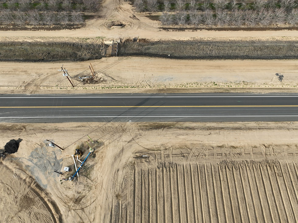
At TrueSite LiDAR, our surveying services leverage cutting-edge LiDAR technology to capture precise, reliable data for land development, infrastructure planning, and beyond. By producing highly accurate spatial information, we equip surveyors, engineers, and project managers with the insights they need to make informed decisions, reduce risks, and optimize resource allocation from the earliest project stages.
Services & Applications
Our advanced LiDAR-based surveying solutions encompass everything from topographic mapping and boundary delineation to volumetric calculations and contour generation. With our high-resolution point clouds and elevation models, you’ll gain a clear, detailed understanding of terrain features and property lines, enabling efficient project planning and streamlined workflows. Whether you’re tackling large-scale infrastructure initiatives or detailed site evaluations, TrueSite LiDAR’s data-driven approach helps ensure that every measurement and plan is grounded in the utmost accuracy and clarity.